



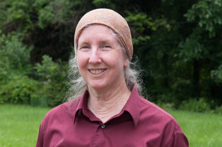
Lorraine A Remer
Research Professor · Non-Tenure Track
Department of Geography & Environmental Systems Department of Physics Goddard Earth Sci & Tech Center
About
Lorraine Remer spent 21 years at the NASA Goddard Space Flight Center involved in the remote sensing of aerosol and the use of remote sensing data for the study of aerosols in climate processes, how aerosol particles affect clouds, aerosol transport and particulate air pollution. Her first position at Goddard in 1991 was in the role of a support scientist, employed by Science Systems and Applications, Inc. (SSAI), where she contributed to the development of the MODIS aerosol algorithms.
In 1998 Dr, Remer joined the Federal civil service, and in 2012 she left NASA to become a part of JCET-UMBC, now GESTAR II. Currently she is working on aerosol remote sensing for the PACE mission, and is using satellite products to determine ocean ecosystem response to fertilization from airborne dust. She also contributes to measuring aerosols from ground-based and air-borne sensors
Dr. Remer has served on a variety of national and international panels. She has co-edited a textbook, Aerosol Remote Sensing, and was an editor of the Journal of the Atmospheric Sciences. Dr. Remer was named a ‘highly cited’ scientist in geosciences by Thomson-Reuters for the time period 2002 – 2012, and was elected as Fellow of the American Geophysical Union in 2015.
Research interests
Dr. Remer's research interests include remote sensing of aerosol and the use of remote sensing data for the study of aerosols in climate processes, how aerosol particles affect clouds, aerosol transport, ocean ecosystems and particulate air pollution.
Teaching interests
Atmospheric Science, Environmental Science, Physical Geography, Remote Sensing.
Education
- Ph D, Atmospheric Science — University of California, Davis (1991)
- MS, Oceanography — Scripps Institution of Oceanography, University of California at San Diego (1983)
- BS, Atmospheric Science — University of California, Davis (1980)
Publications
- A new way to see the clouds: the hyper-angular rainbow polarimeter (HARP2) on the NASA PACE satellite mission 2025
- Retrieving Aerosol Characteristics From the PACE Mission, Part 1: Ocean Color Instrument 2019
- Retrieving Aerosol Characteristics From the PACE Mission, Part 2: Multi-Angle and Polarimetry 2019
Presentations
- The First Year of HARP2/PACE Performance Based on its Ground and On-Orbit Characterization 2025
- First Results and On-Orbit Performance of the Hyper-Angular Rainbow Polarimeter on the PACE Satellite 2024
- The measurement of aerosol and gases from space for climate and air pollution application 2024
- The Climate-n constellation of Small Satellites for the detailed measurement of aerosol pollution, cloud properties, and greenhouse gases 2024
- Update on the PACE (Plankton, Aerosol, Cloud, ocean Ecosystem) Mission 2018
- Progress in satellite-based estimates of particular matter 2018
Grants and Contracts
- Integrating Lidar and GEO Retrievals for Enhanced Aerosol Characterization 2025
Courses Taught
- Digital Image Processing
- Digital Image Processing for Environmental Applications
- Introduction to Remote Sensing