



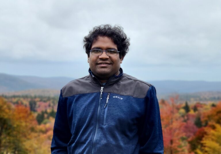
Dr. Nishan Kumar Biswas
Assistant Research Engineer · Non-Tenure Track
Goddard Earth Sci & Tech Center
He/Him/His/Himself
About
My research is focused on using multi-source satellite remote sensing data to improve our ability to manage water resources and hydroclimatic disasters, specifically in understudied regions of the world. It is a fact that there are some unavoidable limitations associated with ground measurements such as inconsistent data records, affordability, transboundary issues, the lag between data acquisition and transfer to the center, and inaccessible areas. NASA and other space agencies provide tons of remote sensing data that can address most of the issues mentioned above in data-scarce regions. During the last 7 years, I have been focusing on improving satellite observations for the application in water and disaster monitoring and prediction.
Research interests
1. Satellite remote sensing application in Hydroclimatic disasters
2. Numerical weather prediction and extreme event forecasting
3. Artifical intelligence, cloud computing applications, and scientific visualization
Education
-
Ph D, Civil Engineering
— University of Washington (2021) Mainstreaming multi-mission satellite observations in advancing operational water management
-
MS, Civil Engineering
— University of Washington (2017) A Scalable Open-source Web-analytic Framework to Improve Satellite-based Operational Water Management in Developing Countries
-
BS, Engineering
— Bangladesh University of Engineering and Technology (2013) Study of streamflow and structural safety along Teesta River, Bangladesh
Publications
- Landslide hazard forecasting for the Lower Mekong Region 2022
- A dynamic landslide hazard monitoring framework for the Lower Mekong Region 2022
Presentations
- Exploring the application of SWOT satellite data for monitoring river dynamics over Bangladesh 2025
- Quantitative analysis of the impact of drought on reservoir operations at the Global Scale 2025
- A global quantification of the response of reservoir storage changes to droughts 2024
- Unravelling the role of global and downscaled rainfall forecasts in landslide hazard prediction over the Lower Mekong Region 2024
- Understanding the stresses on freshwater resources in Ganges Delta due to climate change and human impact using satellite observations 2023
- Understanding the stress on water resources due to climate change and human activities in Bangladesh using satellite observations 2022
- Satellite gravimetry helps monitor the operation of large reservoirs 2022
- A dynamic Landslide hazard forecasting Framework for the Lower Mekong Region 2022
- Understanding the stresses on freshwater resources in Ganges Delta due to climate change and human impact using satellite observations 2022
- Development of a dynamic landslide hazard awareness system for the Lower Mekong Region 2021